


Asset Details
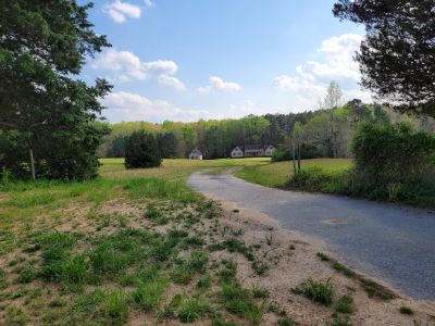
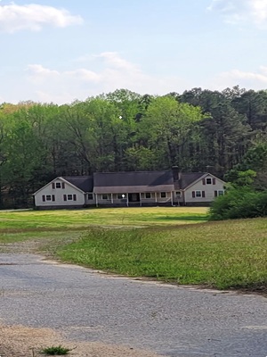
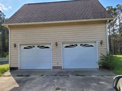
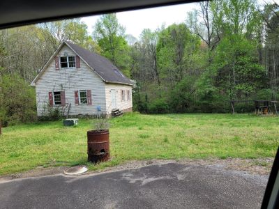
Willie J. Sessions's one-half interest in a 4,234 (2,604 living) sq. ft. 4 bedroom/3.5 bathroom Single Family Residence built in 1987 situated on 5.01 acres more commonly known as 340 Cedar Grove Dr., Henderson, NC 27537 (Parcel No. 0209 02027) as well as the adjoining 29.31 acres of residential land more commonly known as Turner Land (Parcel No. 0209 02028).
Firearms Prohibited
Members of the public attending the auction are prohibited from carrying/possessing a firearm(s) at the auction, even if carrying/possessing a firearm(s) is otherwise permitted under state or local law. The term “firearm” means any weapon (including a starter gun) which will or is designed to or may readily be converted to expel a projectile by the action of an explosive.
Asset Info
Under the authority in Internal Revenue Code section 6331, the property described below has been seized for nonpayment of internal revenue taxes due from Willie J. Sessions. The property will be sold at public auction as provided by Internal Revenue Code section 6335 and related regulations.
TRACT NO. 1:
Begin at an existing iron pin, corner of Joseph S. King in the line of the Grantors, said iron pin being on the Northern edge of a 60-foot existing private road shown on plat recorded in Plat Book T Page 996; said iron pin being further located South 56° 15' 35" West 318.32 feet and South 38° 46' 56" West 482.06 feet from an existing iron pin on the Western edge of the right of way of State Road 1425 (Forest Hill Drive); run thence South 07° 29' 44" West 250 feet to an iron pin near a branch; thence generally following said branch South 69° 23' 33" West 211.79 feet; North 58° 28' 45" West 156.42 feet, North 63° 33' 42" West 105.95 feet, North 26° 14' 43" West 113.10 feet; thence leaving said branch run North 43° 44’ 27" East 241.15 feet to a new iron pin; thence South 84° 39' 17" East 350.38 feet to an iron pin in King's line; thence South 07° 29' 44" West 50 feet to the place of the beginning. The same being shown as Tract B containing 3.39 acres on survey for William Russell Davis and Kay K. Davis, Henderson Township, Vance County, North Carolina, dated May 30, 1986 prepared by Cawthorne & Associates, and recorded in Plat Book U Page 553 Vance County Registry,
TRACT NO. 2:
Begin at an iron pin in the Southeastern corner of Tract B as shown on the plat hereinafter referred to, said iron pin being located in the line of Turner and Ausborn and being further located South 07° 29' 44" West 170.19 feet from an iron pin on the Southern edge of an existing 60-foot private road shown on plat recorded in Plat Book T at Page 996, said iron pin being further located Just North of a branch; run thence generally along said branch South 69° 23' 33" West 211.79 feet, North 58° 28’ 45" West 156.42 feet, North 63° 33' 42" West 105.95 feet, North 26° 14' 43" West 113.10 feet; thence leaving said branch run North 43° 44’ 27" East 241.15 feet to a new iron pin; thence South 84° 39' 17" East 350.38 feet to an iron pin in King's line; run thence along King's line North 07° 29' 44" East 405.82 feet to a new iron pin which is located South 07° 29' 44" West 13.22 feet from an old existing iron pin; run thence along a fence North 64° 00' 24" West 158.11 feet to a new iron pin, North 63° 38’ 118" West 229.23 feet to a new iron pin and North 64° 00' 44" West 418.37 feet to a new iron pin; thence continuing along the fence South 07° 38' 26" East 257.21 feet, South 39° 19' 23" West 164.81 feet and South 89° 18’ 27" West 162.1 feet to a new iron pin; thence South 07° 29' 44" West 1,383.73 feet to a new iron pin in the line of Mary Catherine Swain; thence South 83° 02' 15" East 384.45 feet to an existing iron pin; South 85° 11' 61" East 510.04 feet to an existing iron pin; thence North 15° 39' 36" East 355.03 feet to an existing iron pin, and North 07° 29' 44" East 453.54 feet to the place of the beginning. The same being shown as Tract A containing 30.93 acres on survey for William Russell Davis and Kay K. Davis, Henderson Township, Vance County, North Carolina, dated May 30, 1986 prepared by Cawthorne & Associates, and recorded in Plat Book U Page 553, Vance County Registry.