


Asset Details
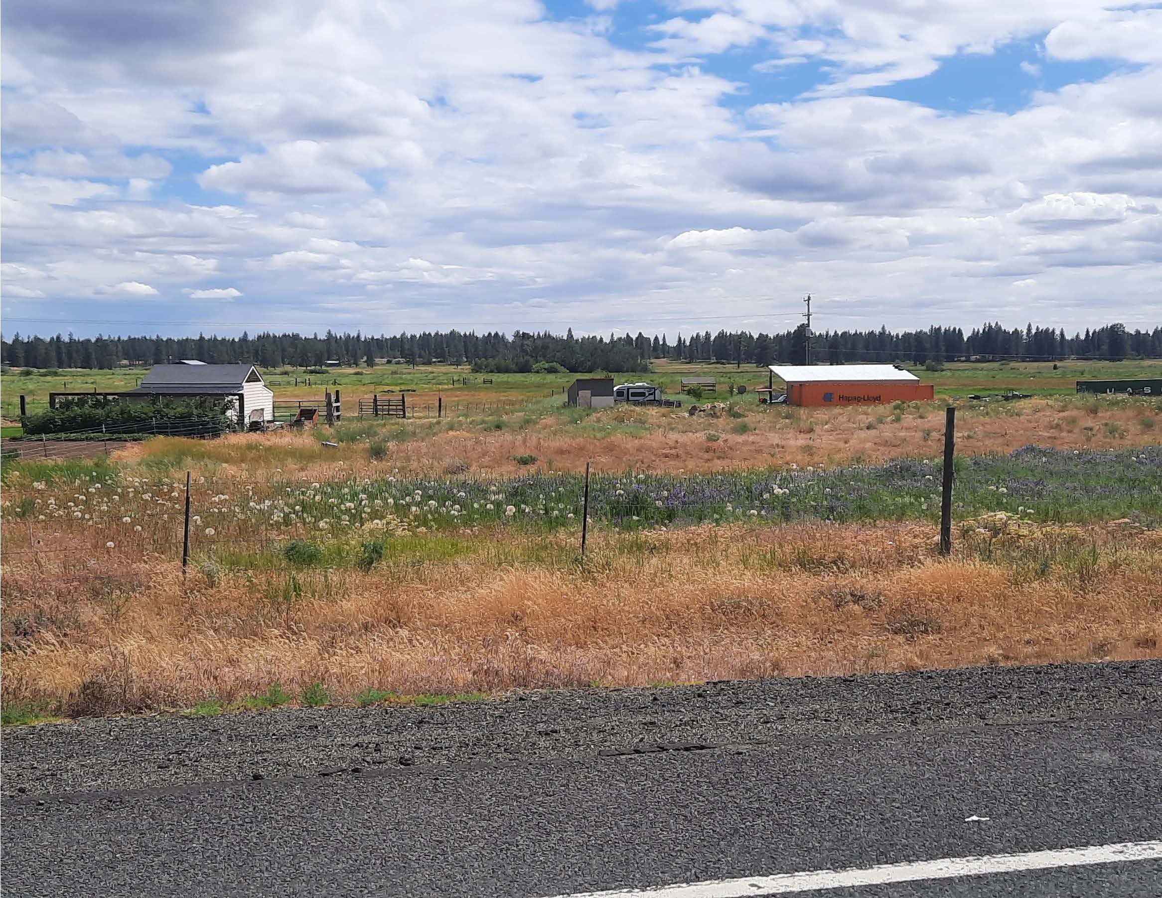
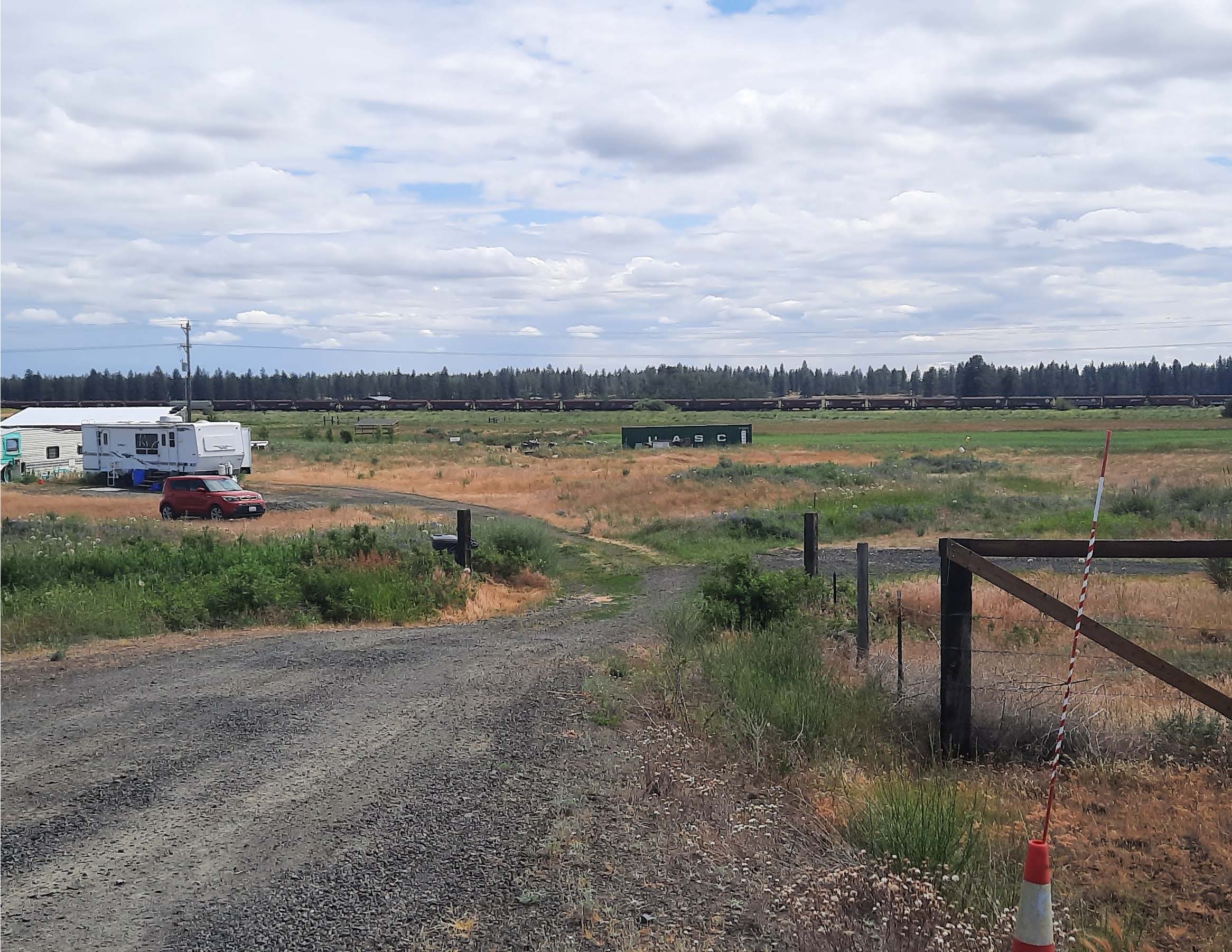
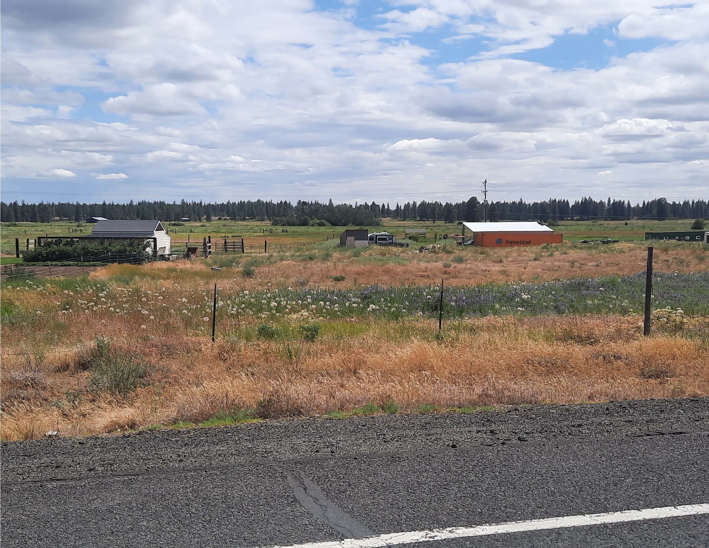
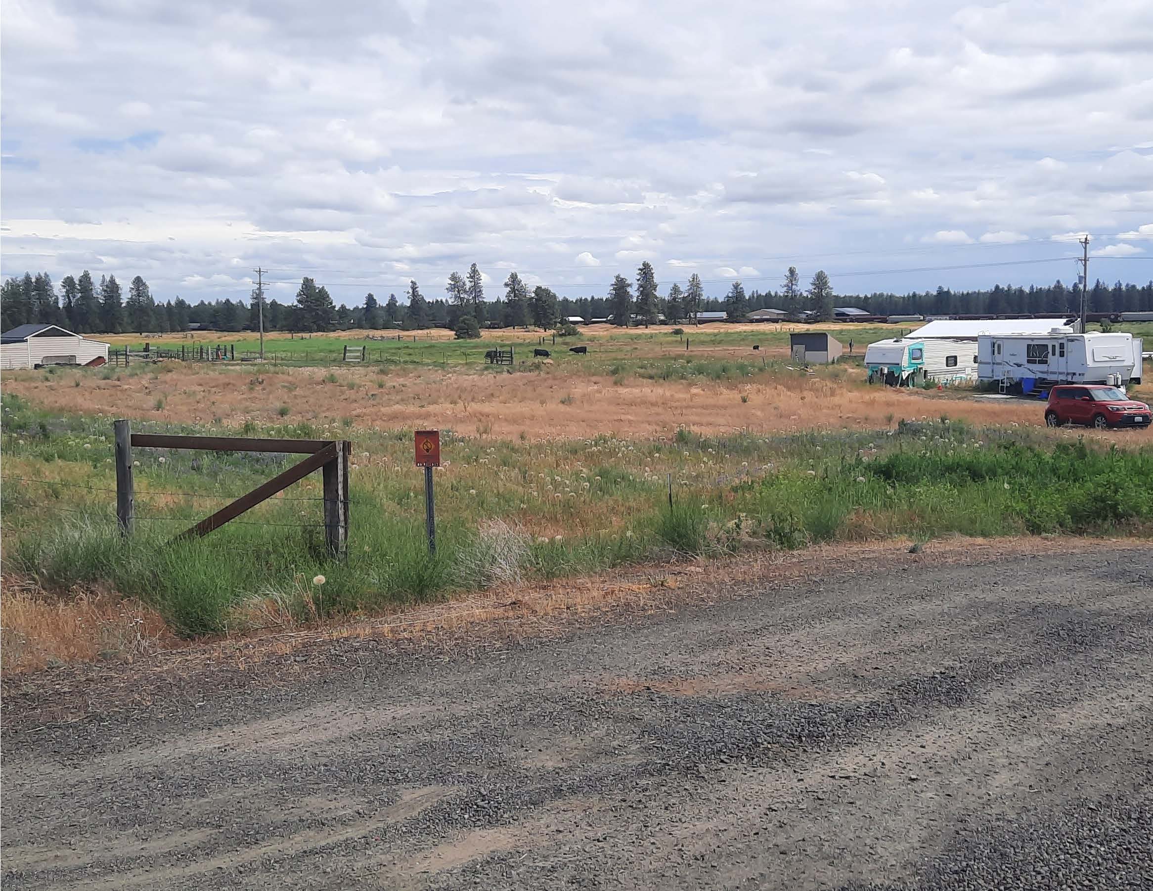
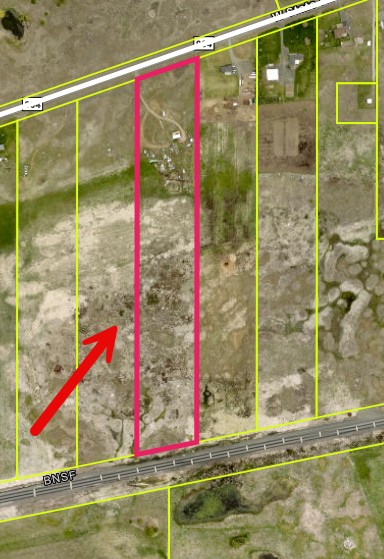
Approximately 14.14 acres
Parcel No. 13286.9035
Firearms Prohibited
Members of the public attending the auction are prohibited from carrying/possessing a firearm(s) at the auction, even if carrying/possessing a firearm(s) is otherwise permitted under state or local law. The term “firearm” means any weapon (including a starter gun) which will or is designed to or may readily be converted to expel a projectile by the action of an explosive.
Asset Info
Under the authority in Internal Revenue Code section 6331, the property described below has been seized for nonpayment of internal revenue taxes due from Sincere Siding.
The property will be sold at public auction as provided by Internal Revenue Code section 6335 and related regulations.
Date of Sale: December 2, 2026
Time of Sale: 10:30 am (Registration at 10:00 am)
Place of Sale: Spokane County Superior Court at 1116 W Broadway Ave #3 in Spokane, WA 99260, outside by front
Title Offered: Only the right, title, and interest of Mark J. Gunderson & Katherine S. Gunderson in and to the property will be offered for sale.
Description of Property:
Approximately 14.14 acres located at 16413 W SR 904 Hwy in Cheney, WA 99004 (Spokane County)
Parcel No. 13286.9035
Minimum Bid $54,608.57
Property may be Inspected by drive-by only
Payment Terms: Full payment required on acceptance of highest bid
Form of Payment: All payments must be by a certified, cashier’s, or treasurer’s check drawn on any bank or trust company incorporated under the laws of the United States or under the laws of any State, Territory, or possession of the United States, or by a United States postal, bank, or express money order. Make check or money order payable to the United States Treasury.
THAT PORTION OF THE SOUTH HALF OF SECTION 21 AND THE NORTH HALF OF THE NORTH HALF OF SECTION 28, ALL IN TOWNSHIP 23 NORTH, RANGE 41, EAST OF THE WILLAMETTE MERIDIAN, DESCRIBED AS FOLLOWS:
BEGINNING AT THE INTERSECTION OF THE WEST LINE OF THE EAST 2515.00 FEET OF SAID SOUTH HALF OF SECTION 21 AND THE SOUTHERLY RIGHT OF WAY LINE OF S. R. 904; THENCE SOUTHERLY, PARALLEL WITH THE EAST LINE OF SAID SOUTH HALF OF SECTION 21, TO THE NORTH RIGHT OF WAY LINE OF THE NORTHERN PACIFIC RAILROAD COMPANY; THENCE SOUTHWESTERLY, ALONG SAID NORTH RIGHT OF WAY LINE, TO THE INTERSECTION WITH THE PROJECTED WEST LINE OF THE EAST 2827.00 FEET OF SAID SOUTH HALF OF SECTION 21; THENCE NORTHERLY, PARALLEL WITH THE EAST LINE PROJECTED OF SAID SOUTH HALF OF SECTION 21, TO THE INTERSECTION WITH THE SOUTHERLYRIGHT OF WAY LINE OF S. R. 904; THENCE NORTHEASTERLY, ALONG SAID SOUTHERLY RIGHT OF WAY LINE, TO THE POINT OF BEGINNING;
ALSO DELINEATED AS PARCEL "I" OF THAT CERTAIN SURVEY RECORDED APRIL 18, 1995, UNDER AUDITOR'S FILE NO. 9504180180 IN BOOK 64 OF SURVEYS, PAGES 63 AND 64;
SITUATE IN THE COUNTY OF SPOKANE, STATE OF WASHINGTON
PARCEL NO.: 13286.9035